Get real time information for wildfires near you
Monitor the spread and intensity of wildfires, track smoke dispersion, and stay alert to lightning activity across the US.
Monitor the spread and intensity of wildfires, track smoke dispersion, and stay alert to lightning activity across the US.
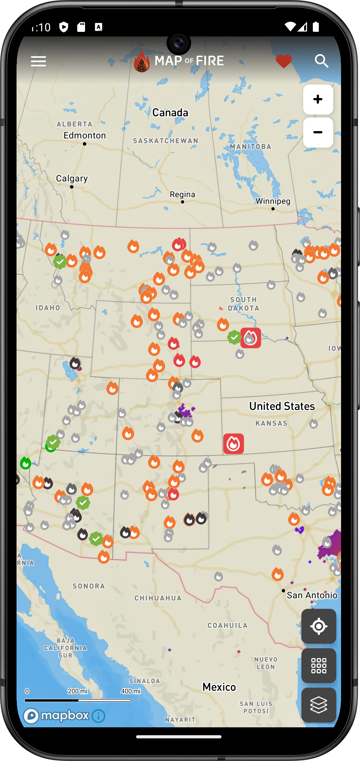
The last wildfire map you'll need: Map of Fire features nearly 40 layers of wildfire-centric information.
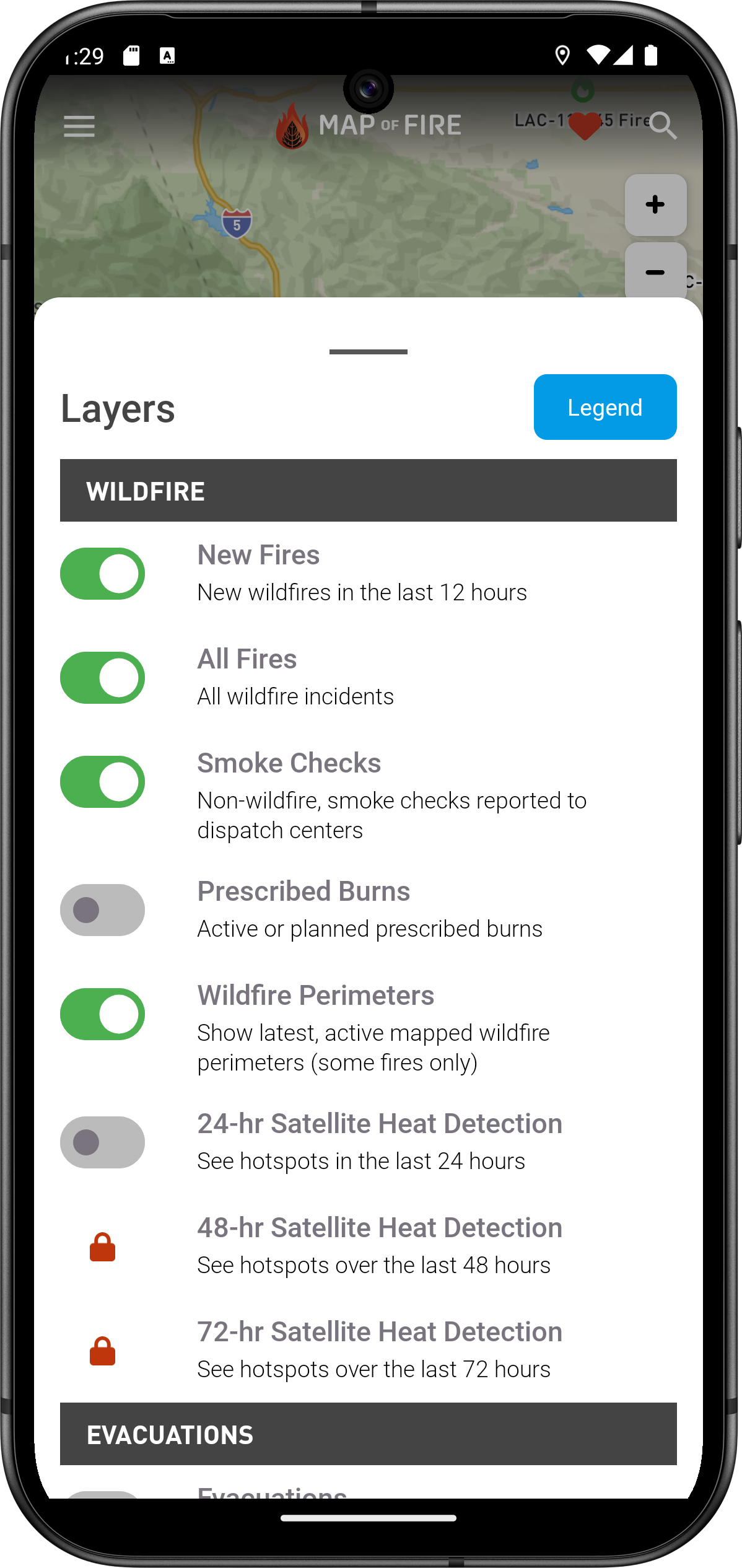
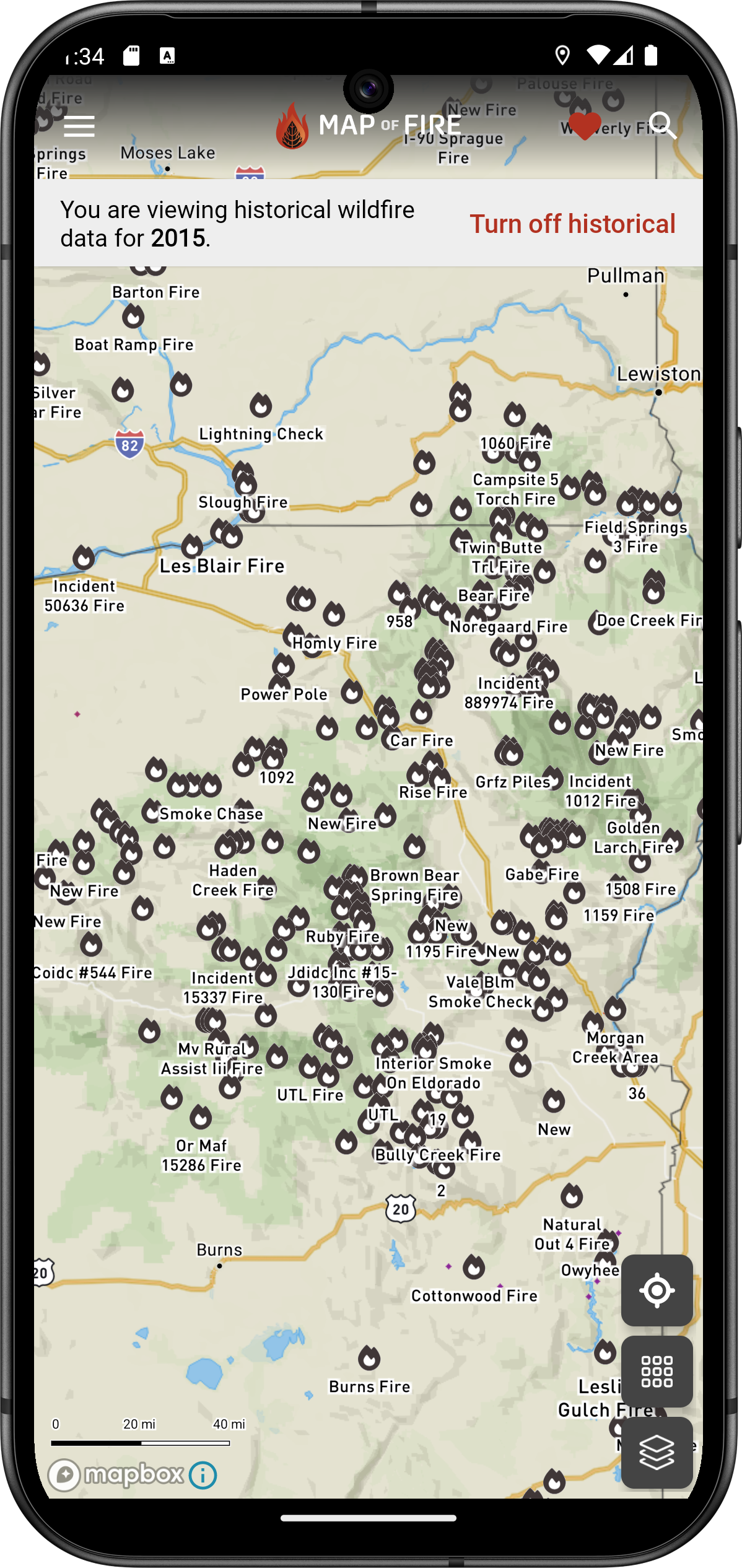
As wildfires adapt to current landscapes and burn more and more land, it's important to look at old burn scars.
Find historical wildfire data all the way back to 2015—using our same app.
Find historical wildfire growth for large incidents around the country. See how quickly a wildfire grows over time.2
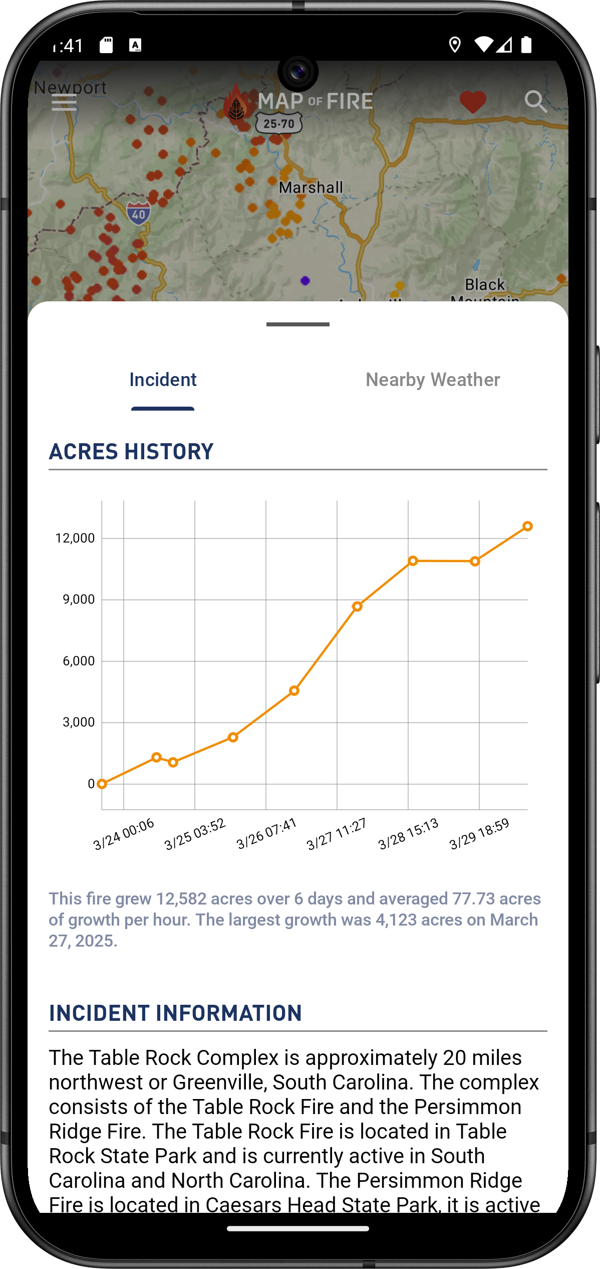
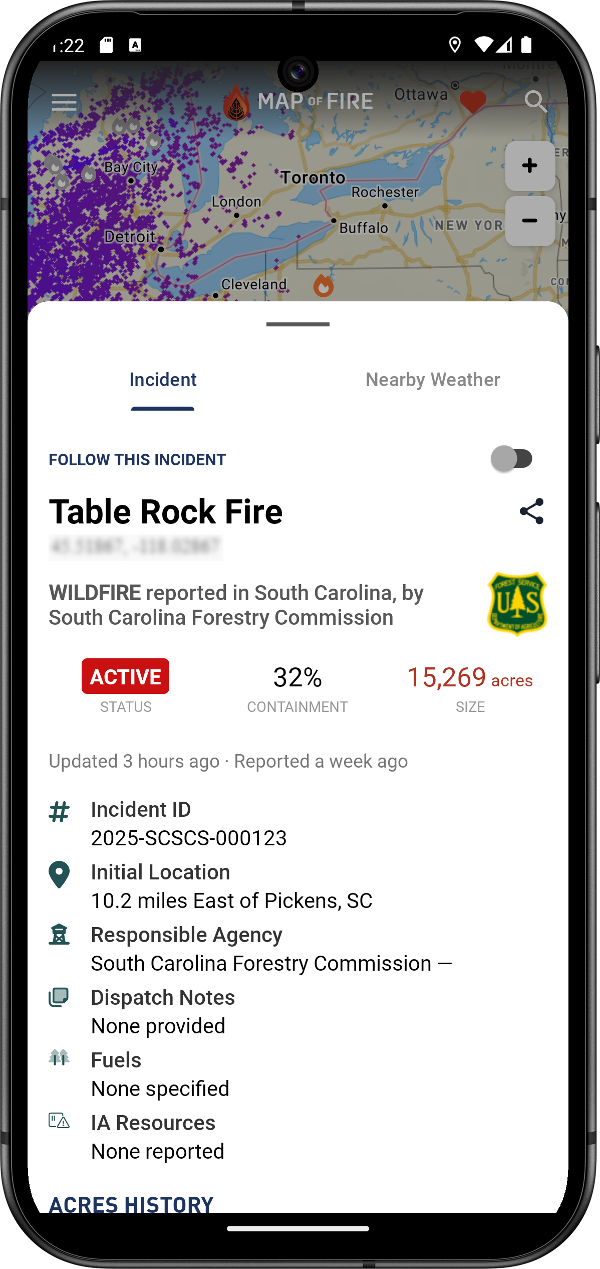
We pull data from multiple sources to provide you the latest information on a wildfire 24/7. Find acreage, the fire's status, containment, and more.
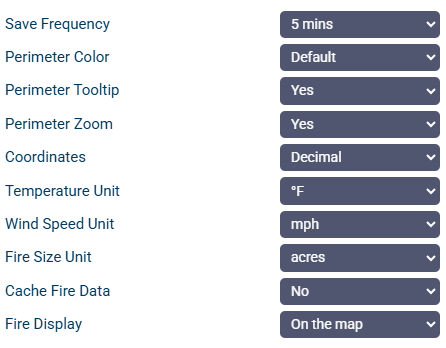
We've built Map of Fire with customization in mind. Change your settings to see data the way you want to see it.
Start tracking wildfires near you
Help support MAPO LLC by making a contribution. It helps us continue to make updates, fix bugs, and add new features to Map of Fire—both in the Android app and the Web App.
Donate1 Wildfires not reported to interagency dispatch centers may not show on the map.
2 Not all wildfires report their change in size. Only available for some incidents.