Adaptive. Integrative.

Information technology specializing in GIS for public safety & recreation

Track wildfires What we do

About our platforms

About MAPO

MAPO started as a collaboration between colleagues seeking to develop a better way to organize, search, track, and find information—primarily wildfires and recreation opportunities. As passionate technology users, we began combining data, technology, and subject-matter knowledge into the services we wanted to share with everyone.

MAPO serves as a platform to give everyone access to public safety data, wildfire information, recreation opportunities, and more. We work many hours, for free, to provide these services and content on our sites. Please consider contributing to help further our endeavours.

Make a contribution

Wildfire Mapping

Wildfires are becoming increasingly inevitable in the US and modern technology to track and disseminate information is necessary. We built Map-o-fire to report on all wildfire incidents. We've added more than 20 other wildfire-centric features to the map, making it one of the most comprehensive tools available for firefighters and community members.

Wildfires & Perimeters

Wildfires are grouped into new fires, or active fires. But, we've taken it one step further and grouped various other types of fire data together. This is also where you can enable wildfire perimeters to show on the map.

Weather

We incorporated nearly a dozen weather layers into our maps. This includes lightning for the past 24 hours, radar, satellite, weather alerts, and more. We pull current conditions from over 90,000 weather stations in the US.

Smoke & Planning

Tracking smoke is easy with NOAA's HRRR smoke modeling data. Overlay other tools like drought conditions, webcams, significant fire potential, wildfire risks to homes, and more. Find air quality conditions around the country.

START TRACKING WILDFIRES

Recreation & Trails

A comprehensive database of recreational trail data, primarily in Eastern Oregon, including multimedia, GPS points, trail descriptions, and more. Summer and winter trails feature hikes, mountain biking, snowmobiling, and backcountry ("AT") skiing.
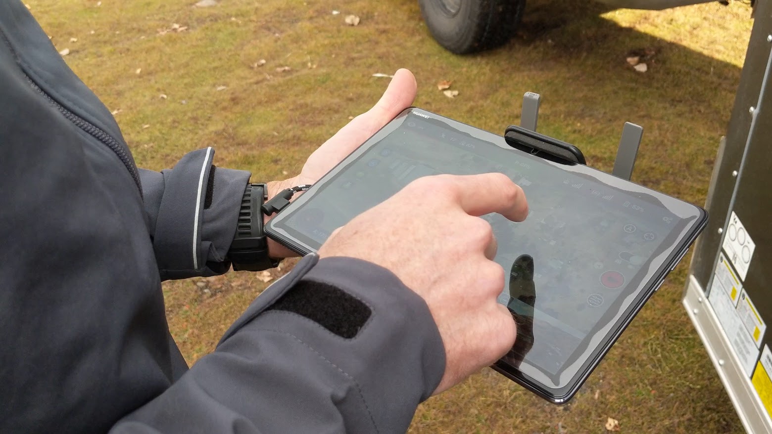
On-the-ground GPS

Most online trail maps use satellite imagery to GPS trails, but that leads to inaccuracies. Our trails have been GPS by a human, on the ground, resulting in the most accurate track possible.

Multimedia

Using photos and video, we can showcase what the trails and surrounding areas look like from trail conditions to picturesque mountain views.

Waypoints

Bridges, common avalanche paths, parking, and more—simply called waypoints on Map-o-Trails. These waypoints mark a abundance of spots along our mapped trails.

FIND A TRAIL FOR YOU

479

trail guides

3,681

photos & videos

4,482

miles of trails

11,463 ft

highest elevation

OregonRoads — Do a trip check

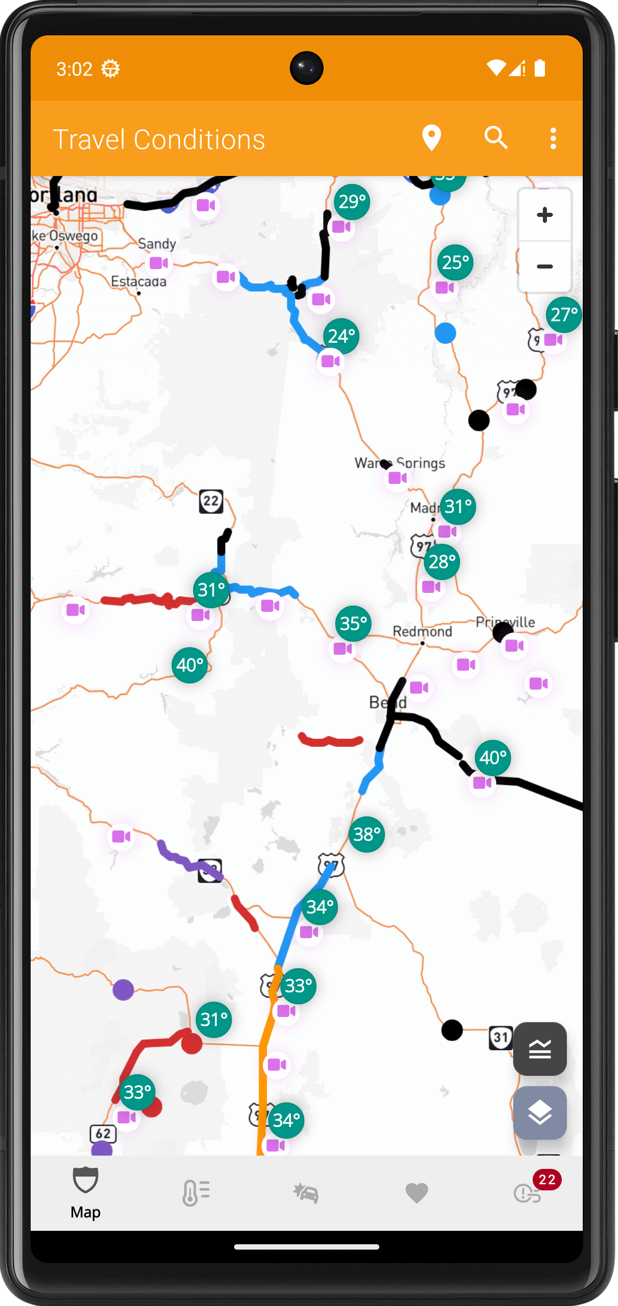
Do a trip check! Find the latest winter road conditions, current weather, and view roadside cameras across the entire state of Oregon using our innovative road conditions app for Oregon. Download for Android or use on the web!